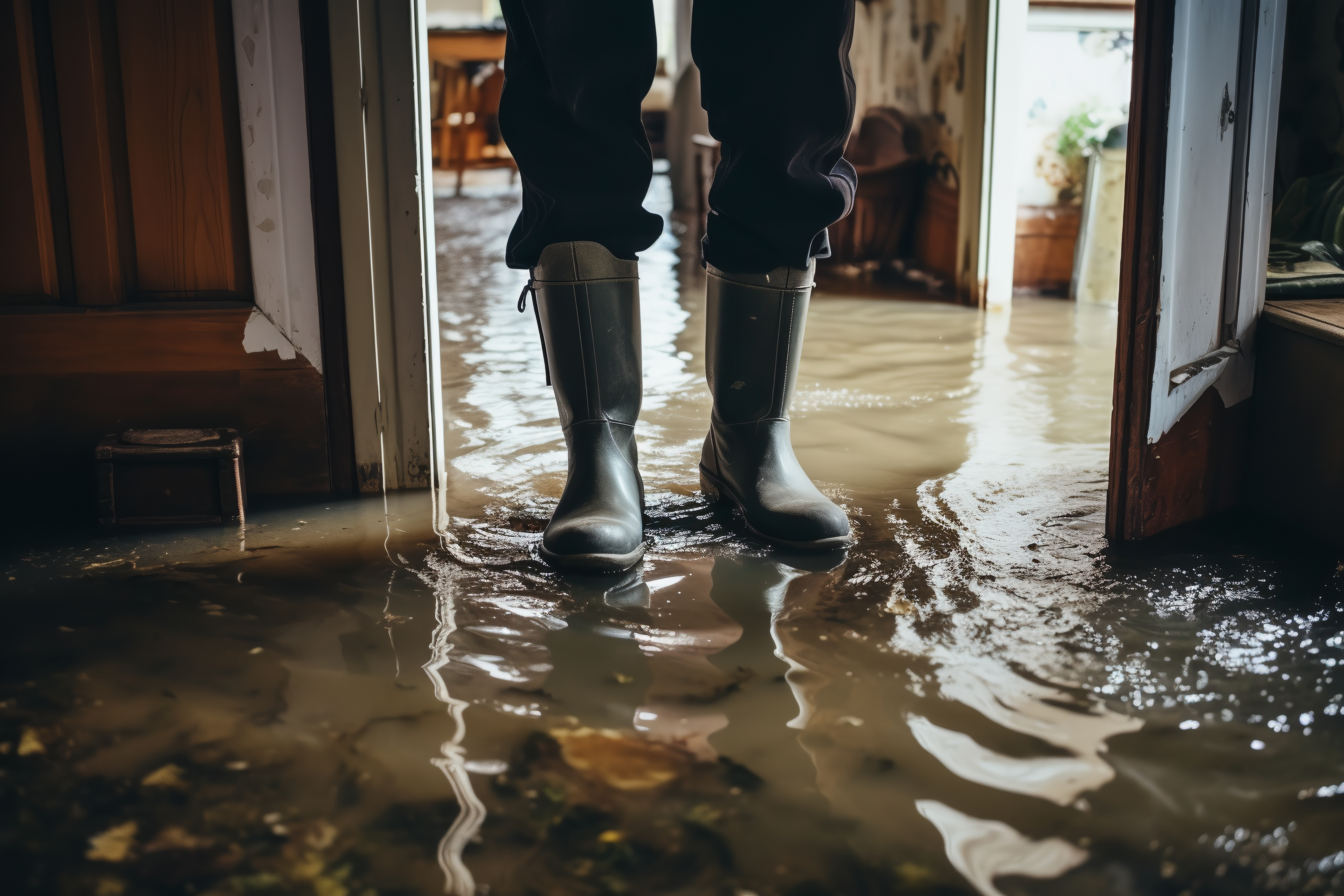
Global floods and extreme rainfall events have increased by over 50% this decade, and they are now occurring at a rate four times higher than in 1980 (2020 United Nations report ‘Water and Climate Change‘).
The main causes of floods: intense precipitation, rising groundwater levels, or rising sea levels and waves in coastal areas. Furthermore, while they are natural phenomena that cannot be avoided, poor urban planning practices such as construction near riverbeds or dry riverbeds, as well as climate change, are contributing to increased probabilities of their occurrence and their negative impact.

Floods are the natural disaster that causes the most damage in Spain, with an average economic impact of 800 million euros per year. In the European Union, they have generated nearly 1,500 events since 1980, more than 4,300 deaths, and over 170 trillion euros in economic damages.
Some studies point to changes in the magnitudes of floods due to climate change. In recent decades, Spain has seen a decrease in medium and large river basins and, at the same time, an increase in smaller basins driven by intense and short-duration convective storms.
To address this reality, both Spain and the other European Union countries, when defining their land use and water management policies, must take into account potential impacts on flood risks and their management. European regulations (transposed into Spanish legislation) require states, regarding flood risks, to: (1) assess them, (2) create maps, and (3) establish management plans.
Focusing our attention on prevention solutions, particularly in urban areas, one key factor is to plan and act in harmony with natural watercourses. In contrast to narrow channels that weaken protections and increase downstream risk, it is essential to restore river floodplains. This way, the river connects with its banks, with riparian forests, with its abandoned meanders, and can overflow onto less vulnerable lands than those inhabited, thus reducing the risk in urban areas.
On the other hand, in cities, the situation differs from rural areas where rainwater infiltrates more quickly and easily due to more permeable soils. When the soil can no longer absorb water, a sheet of water, known as runoff, forms on paved surfaces and seeks drainage. If not drained quickly, all this water can lead to flooding. Therefore, in cities, the key to properly managing precipitation lies in prevention through adequate planning and urban design, as well as protective measures, such as the use of sustainable urban drainage systems (SUDS) and other infrastructure.
As filtered water joins domestic use water in the final phase of its complete cycle (when it reaches sewers and flows to treatment plants), along with SUDS that help limit runoff, integrated infrastructure with sewage systems must come into play, such as stormwater tanks. These tanks retain the initial rainwater, which is often the most polluted, regulating its flow to treatment plants. In the city of Madrid, there are 36 stormwater tanks, which, when combined with those in the rest of the region, total more than 60. The Arroyofresno tank, with a volume equivalent to 8 Retiro Park ponds, is one of the largest in the world.


